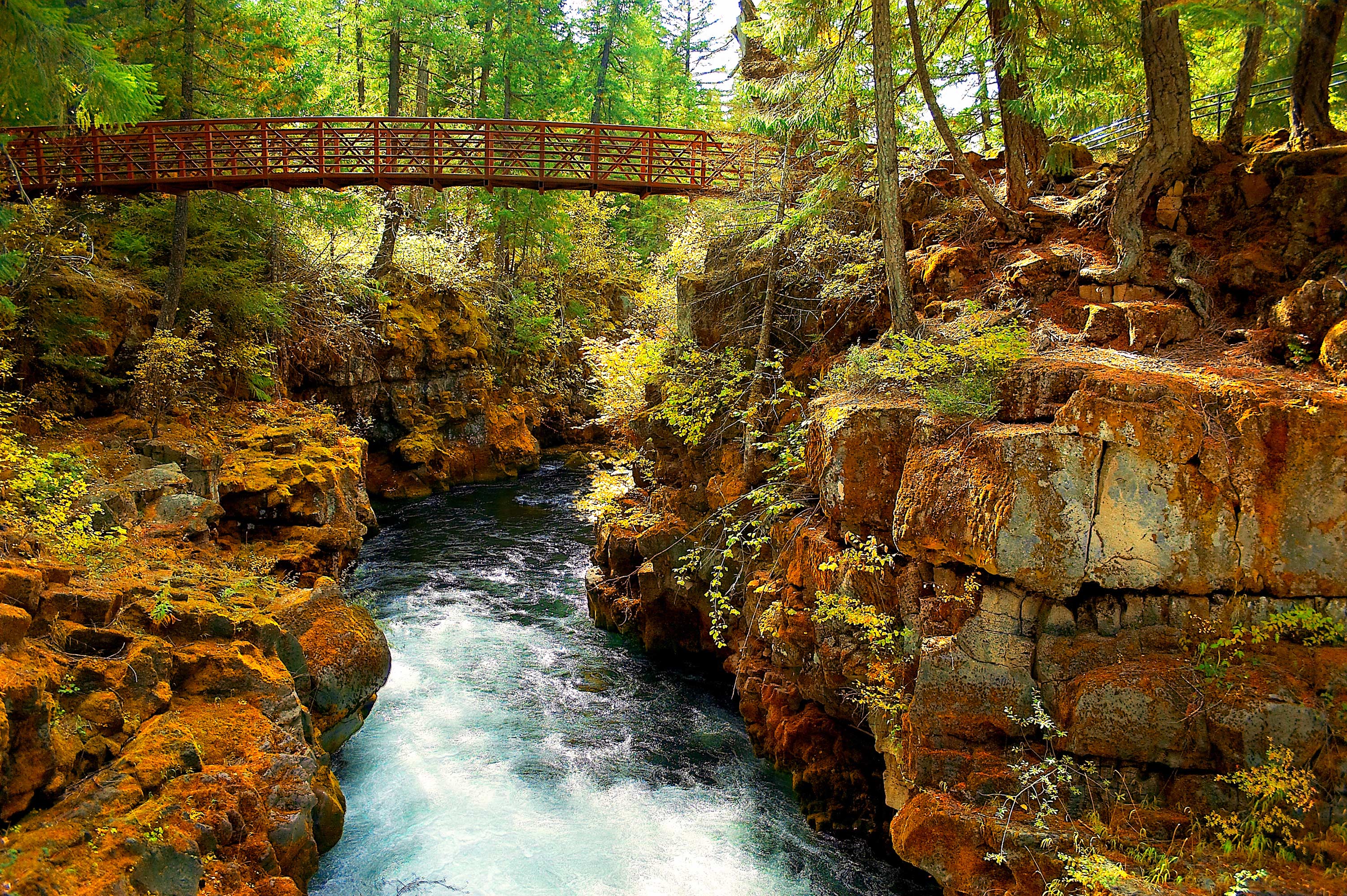
Nehalem, North Santiam and South Umpqua 3 Rivers Choosen
The State Parks and Recreation Department staff has chosen three candidates for more study for possible recommendation:
- Nehalem River (Spruce Run Campground to Nehalem Falls, approximately 15 miles)
- North Santiam River (Wilderness boundary to Bruno Mountain Road, approximately 20 miles)
- South Umpqua River (Castle Rock Fork to Tiller, approximately 27 miles)
(Each segment is approximate and will be refined as study progresses)
These river segments were chosen based on a variety of factors including surveys in the State Trails Plan, existing recreation, relative free-flowing nature of the river (determined by the State Water Resources Department) and input from agency staff, nonprofits, groups with agricultural, environmental, and municipal interests.
Oregon Parks and Recreation Department staff periodically studies candidates for the program as per ORS 390.855. The Department submits recommendations to the governor through the Oregon State Parks and Recreation Commission and Water Resources Board.
For more information, click here.
Contributed by: Mark Nystrom | AOC Energy, Enviornment, and Land Use Policy Manager
